
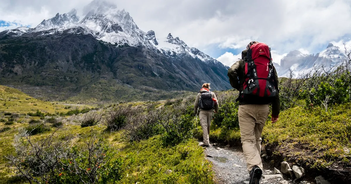
Photo by Karl Fredrickson on Unsplash
Mount Cavallo Loop
Difficulty Hard
Distance 15.94 km
Duration 7h 00min
Ascent / Descent ⬆️ 1030 m / ⬇️ 1030 m
Max gradient 18.9%
Min Slope -22.2%
Max Elevation 2630 m
Min Elevation 1600 m
Avg Elevation 2063.7 m
Description
This route is suitable for experienced hikers with good fitness and a steady step. Some exposed sections with steel cable protection.
Stages
- Start from Pian della Mussa (1600 m)
- Ascent to Bivacco Martini (2350 m) — 2h 30min
- Summit ridge to Monte Cavallo (2630 m) — 1h 15min
- Descent via Val del Cervo — 2h 30min
- Return to Pian della Mussa — 1h
Warning: the ridge section can be dangerous in strong wind or icy conditions. Always check weather conditions before starting.
Route map
Elevation Profile
Descent Flat Ascent